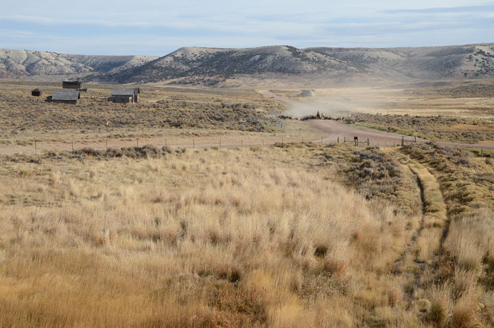
A Basque shepherd runs his sheep through Piedmont (DSC_2216)
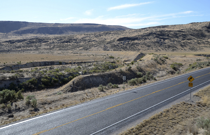
Cuts and fills on County Road 173former roadbed (7-12_DSC_0075)
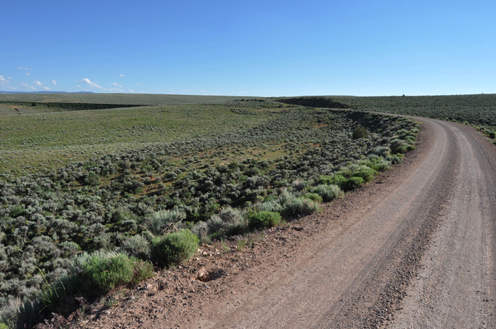
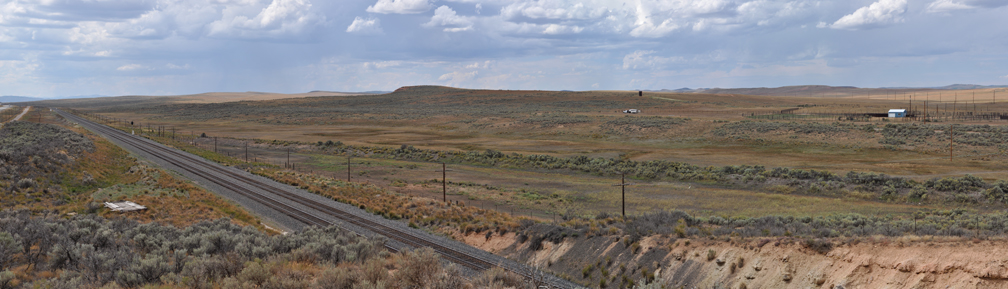
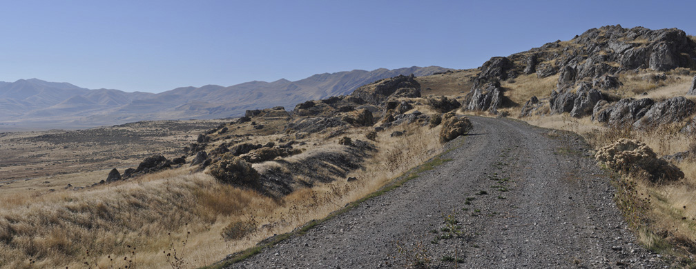
West of Piedmont, where the line crests the "Rim of the [Great] Basin", looking against the direction of travel (10-29_4)
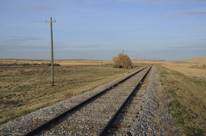
Former roadbed east of Evanston, looking against the direction of travel (9-14_11)
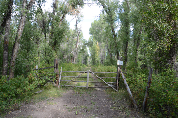
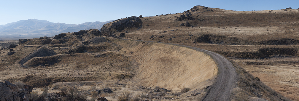
End of County Road 159but the old roadbed continues on toward Evanston (DSC_1042)
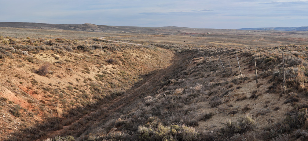
Abandoned roadbed west of Evanston (9-6_1)
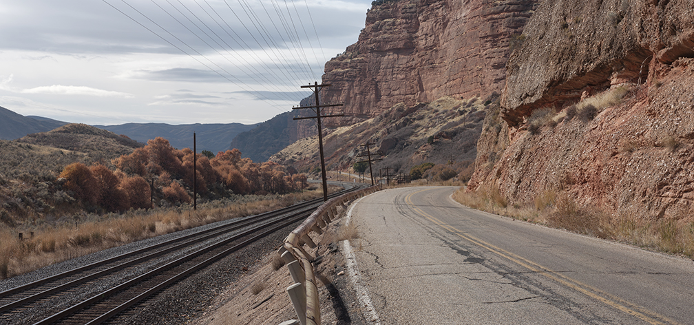
Echo Canyon near Deaths Rock (10-29_18)
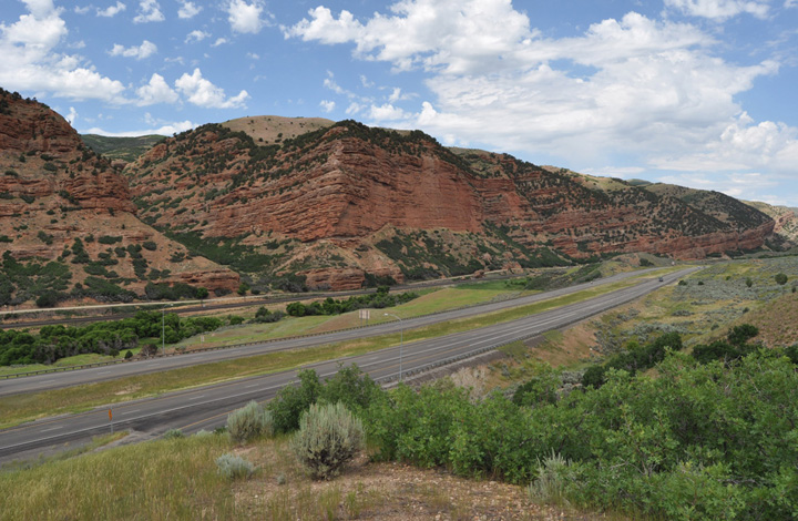
Echo Canyon from the eastbound I-80 rest stop (7-19_DSC_0022)
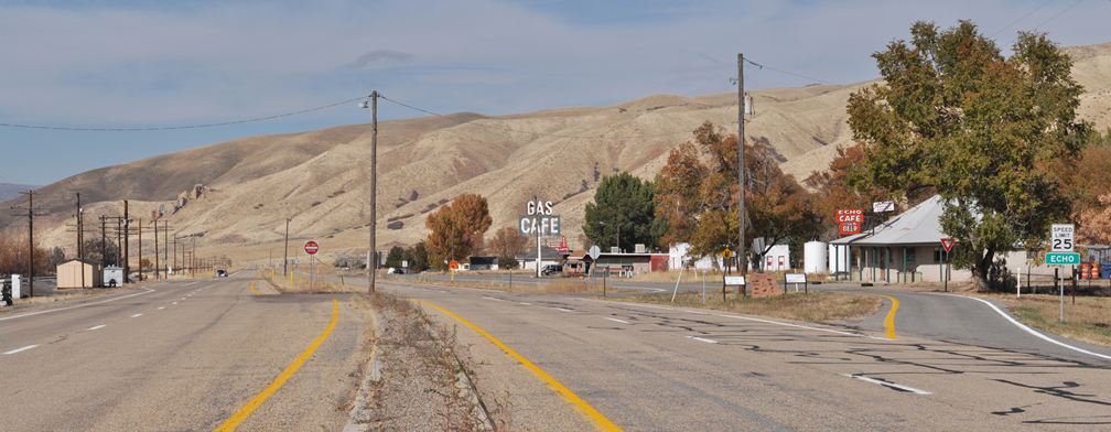
Echo City, Utah (10-29_23)
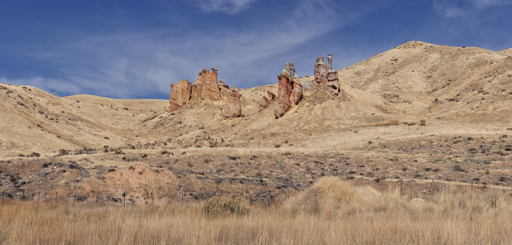
The Witches, just west of Echo City (10-29_28)
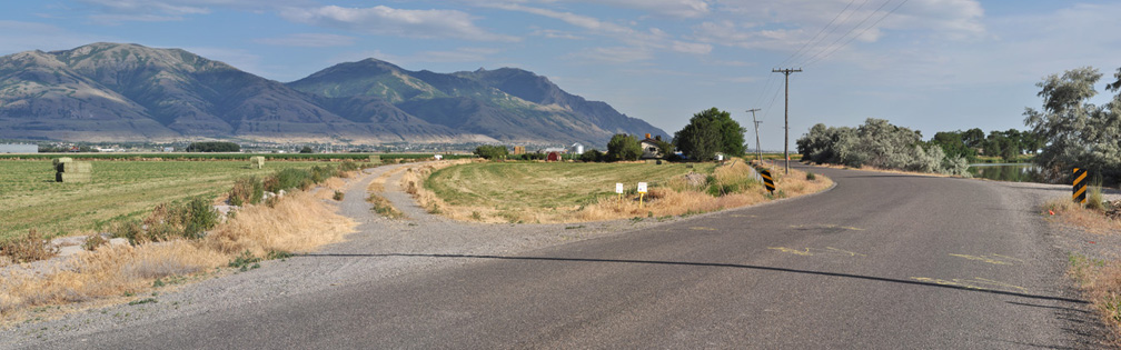
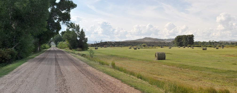
Former roadbed just east of the Bear River Bridge, looking against the direction of travel (7-4_12)
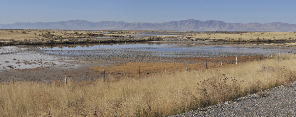
West of Corinne, Promontory Mountains in distance (10-30_5)
Big Curve Blue Creek (DSC_3127)
Dueling grades, climbing toward the Big Fill and Promontory (10-30_13)
Just east of Promontory Summit, site of CP's Big Fill and UP's Big Trestle (10-30_14)
Union Pacifics spur at the Golden Spike National Historic Site (DSC_2206)
close window