Abandoned roadbed crosses Forty-Mile Desert, as seen from south edge of I-80 (11-6_3)
Former roadbed north of Lovelocks (11-6_10)
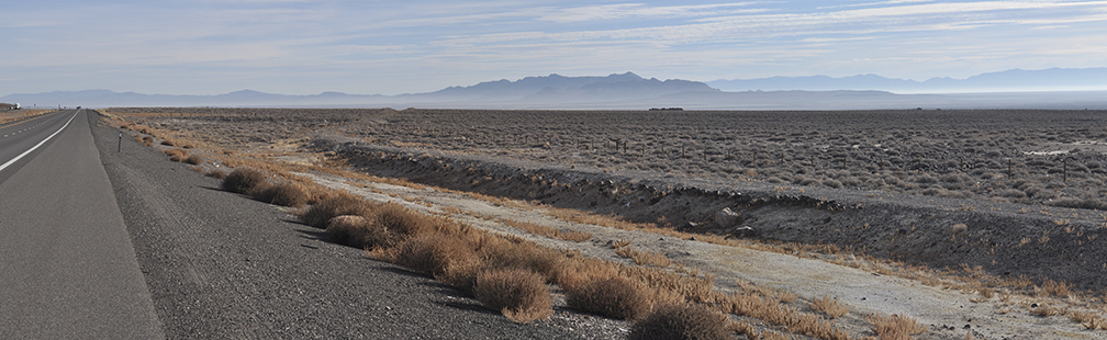
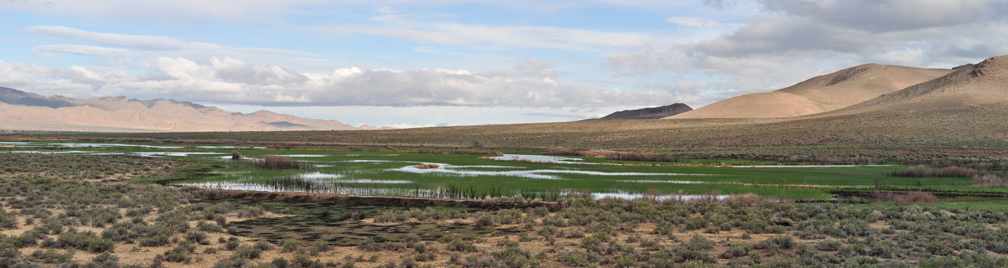
Rye Patch (10-8_17)
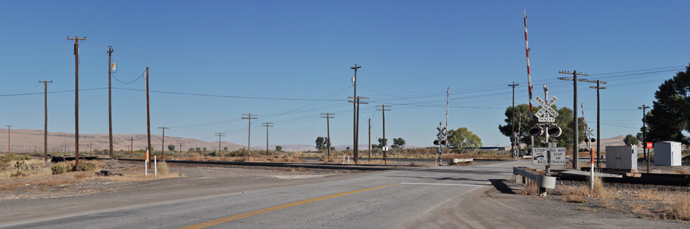
Mill City (10-8_20)
Former roadbed, Crocker Street, along the Humboldt, east of Golconda (5-17_2)
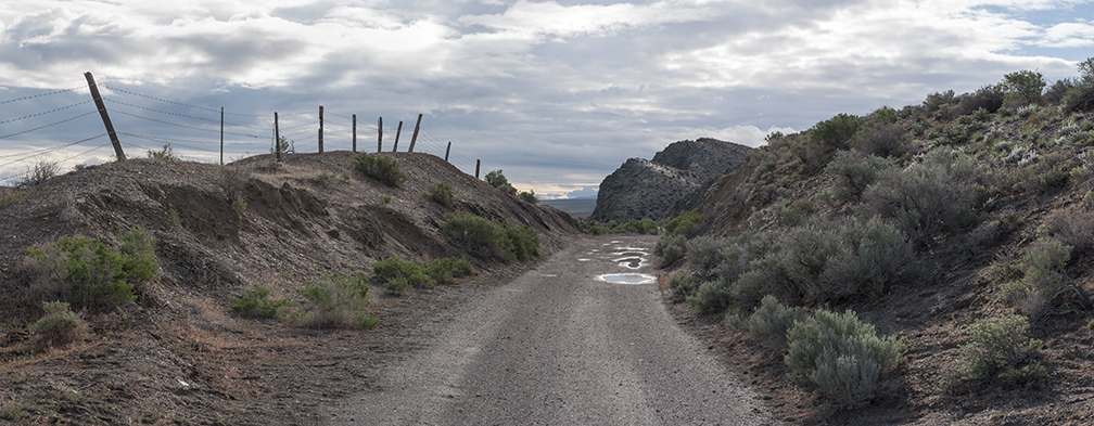
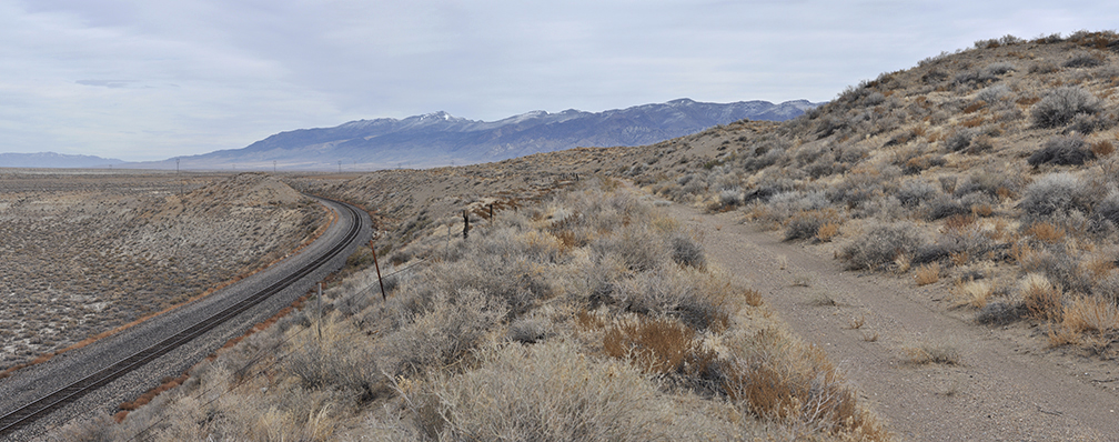
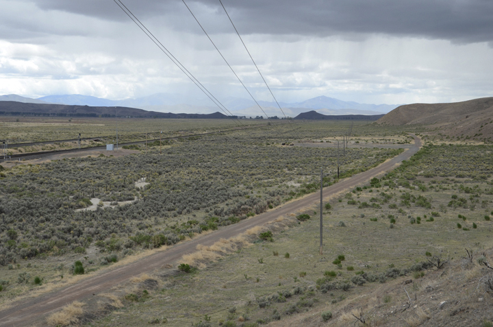
Former roadbed between Golconda and Iron Point, just east of Midas Road (5-17_6)
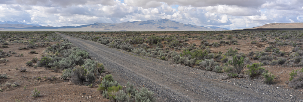
Former roadbed east of Iron Point, near Hart's "Advance of Civilization" photograph (5-17_15)
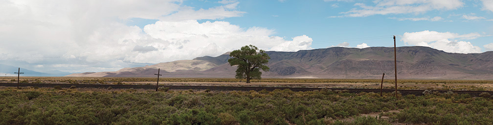
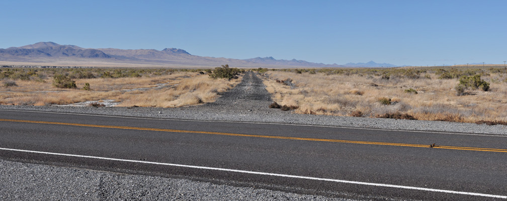
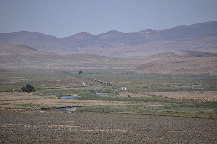
Argenta (5-17_20)
Former roadbed approaching Beowawe (DSC_4249)
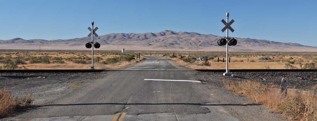
Beowawe (10-9_10)
East of Beowawe, looking against the direction of traveleastbound is on the WP (7-15_DSC_0019)
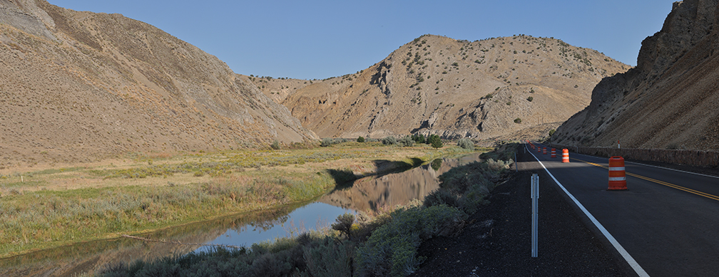
Ten-Mile Canyon at Frenchie Road: dirt road is former roadbed, looking against the direction of travel (9-8_11)
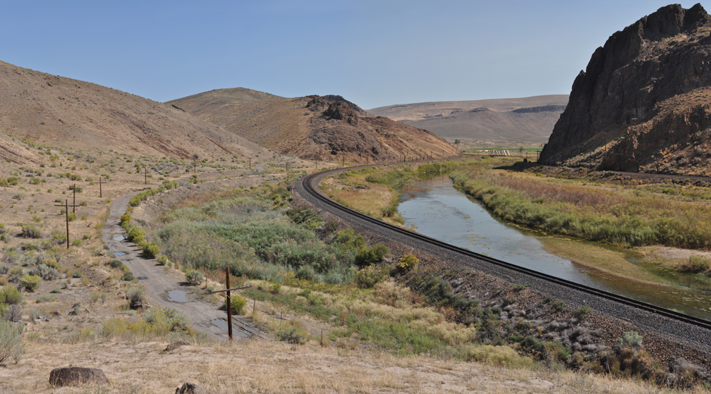
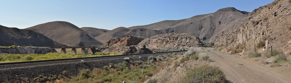
Former roadbed at the Humboldt Gate (left), Ten-Mile Canyon (9-8_15)
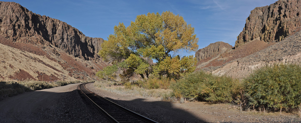
Just east of Palisade, Ten-Mile Canyon (10-26_4)
Former roadbed within Carlin Canyon, looking against the direction of travel (9-8_2)
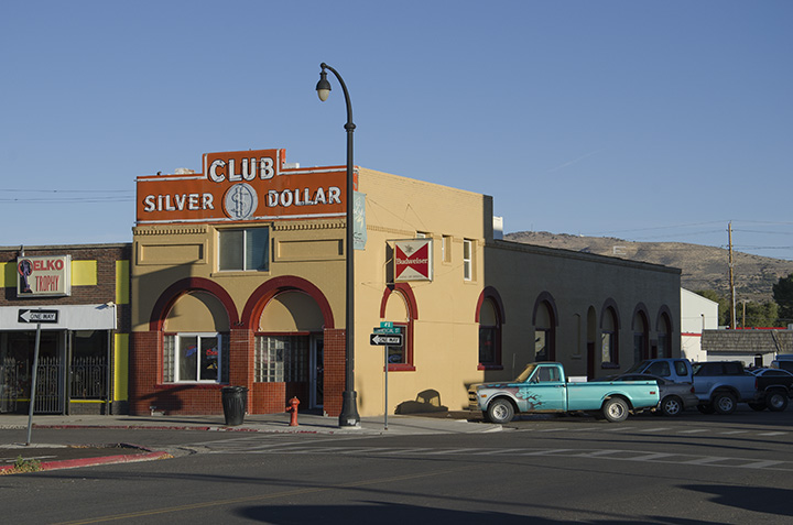
Elko (DSC_1967)
more