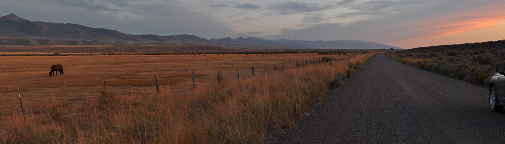
Deeth, looking against the direction of travel (10-27_1)
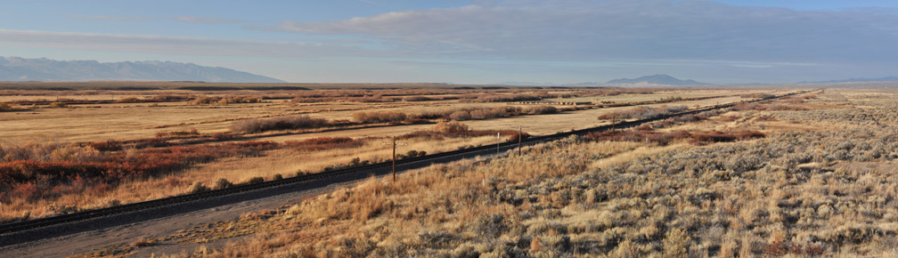
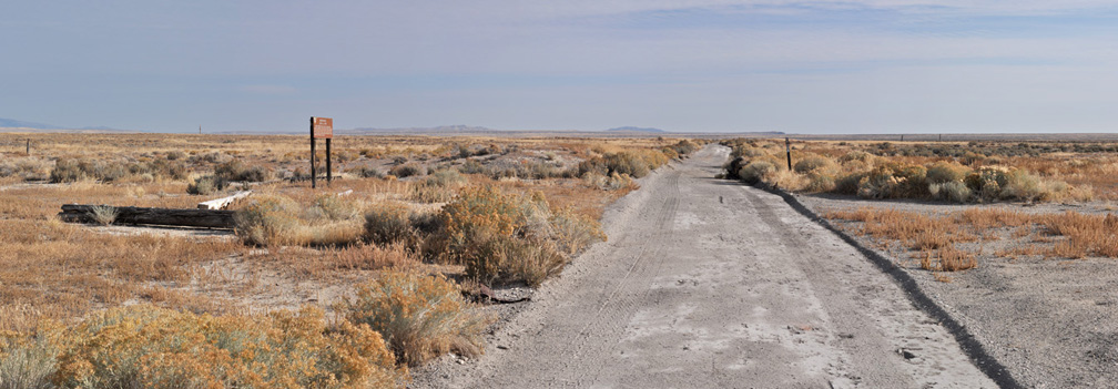
ONeil-Deeth Co. Road (former roadbed), looking against the direction of travel (9-7_42)
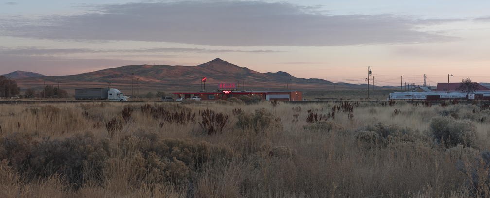
Business establishments, Wells (10-28_7)
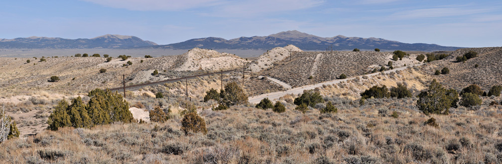
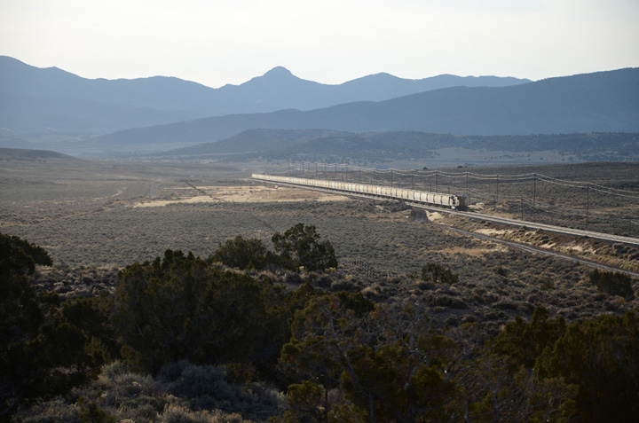
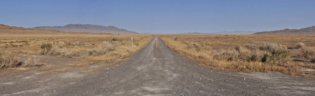
Former roadbed near Pequop (10-27_21)
Toano (DSC_2101)
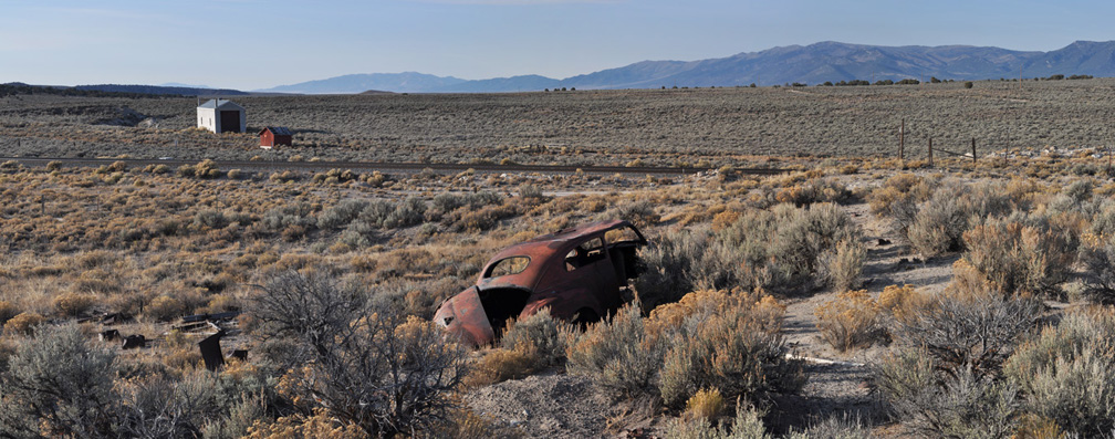
Cobre (10-28_10)
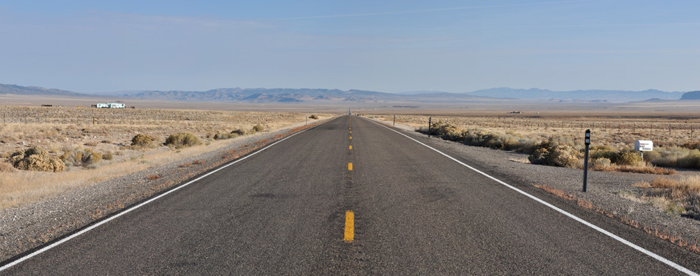
Looking down Highway 233 toward Montello (10-28_13)
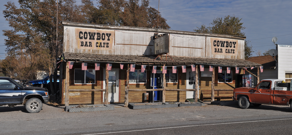
Business establishement, Montello (10-28_15)
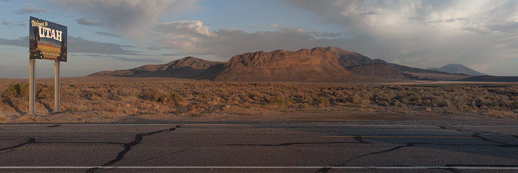
Nevada-Utah State line (7-5_13)
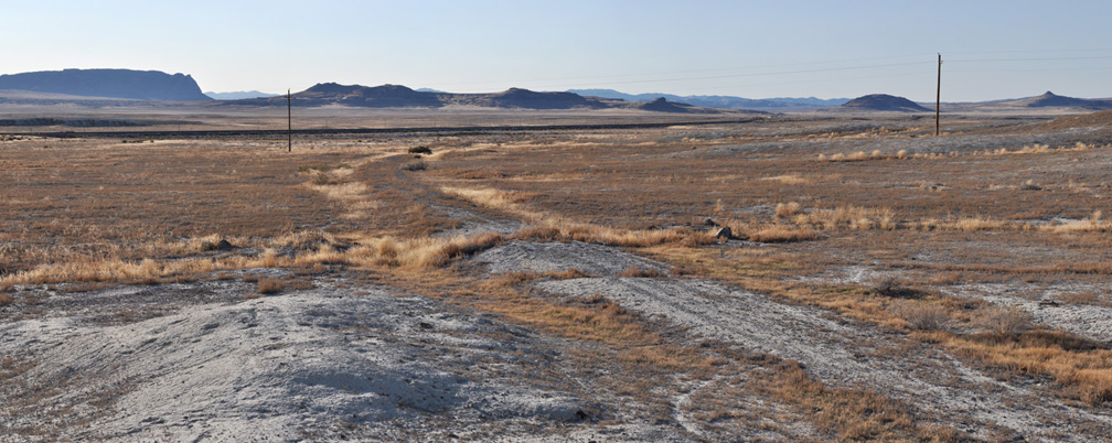
Lucin, Utah, looking against the direction of travel (10-27_26)
Lucin, looking northeast toward Bovine (10-27_24)
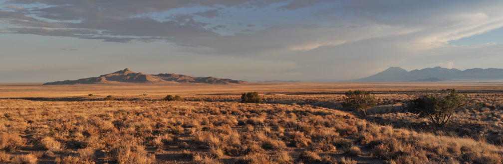
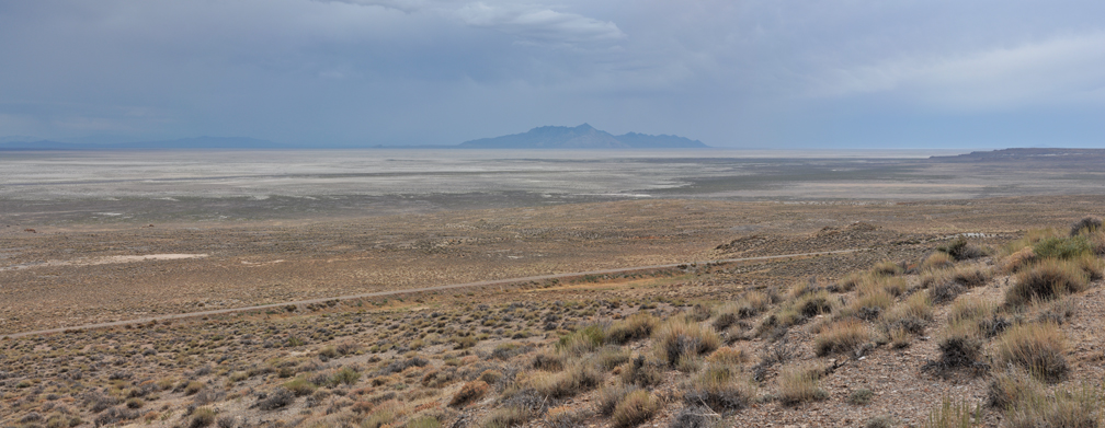
Looking down on old route from Highway 30, Pigeon Mountian and Pilot Peak in background (7-5_12)
Watercress (10-28_17)
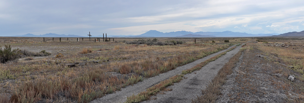
Terrace Cemetery with Pilot Peak in background, looking against the direction of travel (9-7_34)
Just west of Red Dome Siding, Newfoundland Mountains in distance (9-7_31)
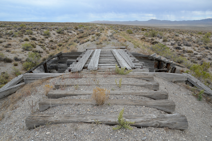
Small bridge, just east of Matilin (DSC_4594)
more